Roman camps
Temporary Roman camps are fortified places with the aim of protection of soldiers against unexpected attacks in a hostile territory or they were used as supporting points before a battle. The place of the camp was most frequently selected by the tribune with several centurions. The tribune was looking for a place with a sufficiently strong source of water, wood, feed and a good possibility of defence, if possible.
According to the few contemporary sources preserved (Polybios, Hyginus, Vegetius Renatus), the camps had a similar inner structure to permanent camps. The ground plan comprised a rectangle or trapezoid with rounded corners. The camps were delimited by one or two trenches and an earthen rampart reinforced by poles, palisade or wooden blocks. The trench width ranged from 2 to 4 m and the depth was between 1 and 2 m. The camp development comprised leather tents divided by streets and alleys. One tent (contubernium) was used by eight legionnaires. According to Hyginus, there was a space reserved for a century of 120 × 30 feet (app. 35.5 × 9 m); the space was called hemistriga. Tents of the centurion and other officers were bigger and more spacious. So a camp for one legion could take up app. 20 ha and legionnaires were able to build a camp in five hours.
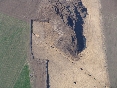
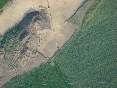
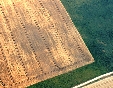
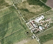
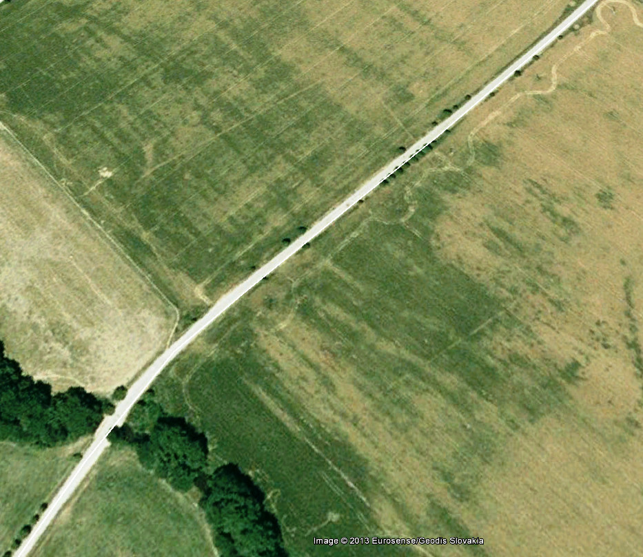
In Central Europe, Roman temporary camps are known to be present in southern and eastern (Brno – Modřice, Charvátská Nová Ves, Hulín, Ivaň, Mušov, Mušov "Písky", Přibice, etc.), north-eastern Austria (Engelhartstetten, Kolbrun, Plank am Kamp, Poysdorf) and southern and south-western Slovakia (Cífer – Pác, Hviezdoslavovo, Chotín, Iža, Mužla, Suchohrad, Trenčín, Závod). Most of the camps have been discovered by an aerial survey based on colour differences in crops. In three cases, camp trenches have been identified incidentally during leading rescue excavations (Brno – Modřice, Hulín and Olomouc – Neředín). The highest concentration of camps has been discovered around the Roman military base near Mušov.